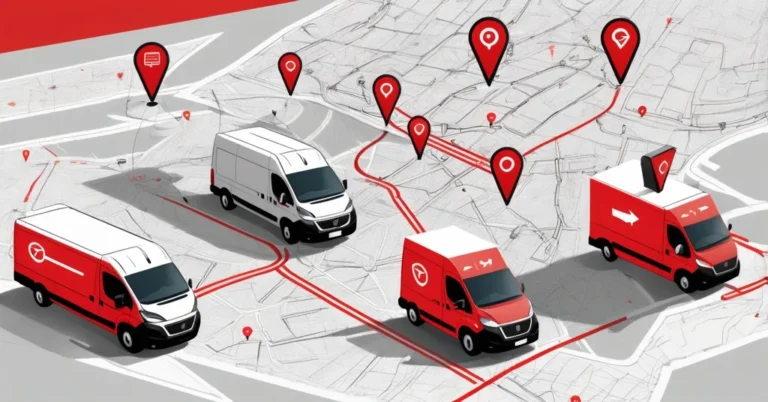
Google Maps vs. Waze: Which navigation app should your business and drivers trust?
Executive summary: Waze is the best real‑time driver tool for the fastest routing and crowd‑sourced incident alerts. Google Maps is the more feature‑complete platform for multi‑modal planning, offline reliability, EV routing, and deeper AI‑driven context. Choose Waze when immediacy and live alerts matter; choose Google Maps when resilience, discovery, and EV/enterprise integrations matter.
Last updated: May 4, 2026
Scorecard snapshot
- Waze wins: real‑time rerouting, crowd‑sourced hazard & police reports, conversational driver reporting.
- Google Maps wins: multi‑modal transit, offline maps, richer discovery (Street View, Lens), Immersive Navigation, EV trip planning, and deeper Gemini (Google AI) integration.
- Hands‑on tally used for this comparison: Google Maps 6, Waze 3 — a practical split, not a knockout.
How the two diverged—and why it matters for business
Both apps are owned by Google, but they solve different problems. Waze is optimized to shave minutes off a trip by reacting to live driver reports and pushing instant reroutes. Google Maps targets breadth—covering walking, transit, driving, offline use, local discovery and increasingly AI‑assisted trip planning. For fleet managers, sales teams, and mobility leaders, those differences change the calculus for routing reliability, customer ETAs, and integration choices.
“Waze is built to get you from A to B as fast as possible and will reroute automatically when traffic changes.”
Where Waze still leads: immediacy, crowd signals, and driver ergonomics
Waze’s product DNA is live, human-sourced intelligence. Drivers report crashes, hazards, construction, and police or speed‑trap locations; that data goes live to other users and triggers fast re‑routing. Waze also supports voice‑friendly reporting (e.g., quick “Looks jammed ahead” inputs), which reduces distraction and keeps reporting granular.
- Real‑time rerouting: Waze aggressively pursues the current fastest path—even if it sends you down narrow side streets. That can save time in congested urban networks.
- Police and speed‑trap alerts: Waze provides more detailed, driver‑reported policing alerts than Maps, which some drivers and fleets value for safety and regulatory reasons.
- Driver UX: The interface is immediate and gamified, which can boost adoption among frontline drivers who favor fast, clear course corrections.
Where Google Maps pulls ahead: resilience, context and AI‑powered planning
Google Maps is broader by design. It supports multiple transport modes—driving, transit, walking, biking—plus Street View, satellite layers, Lens visual search, and features aimed at first/last‑mile friction (parking cues, entrance guidance, 3D route previews through Immersive Navigation).
- Offline reliability: Google Maps supports full offline downloads with turn‑by‑turn directions—critical for international travel, poor connectivity zones, or consistent fleet operations in rural areas.
- EV routing: According to Google, Maps offers charger filters, charging‑speed information and battery‑prediction support for many vehicles via Android Auto—making it the stronger choice for EV fleets.
- AI & Gemini: Google Maps embeds Google’s large AI model (Gemini) across search, discovery and route planning, enabling conversational questions, multi‑stop planning and richer contextual suggestions.
“Google Maps weighs road type and fuel efficiency, and can use landmarks to give more natural directions.”
When each app fits operational use cases
Decide by the problem you need to solve. A few practical scenarios:
- Rush‑hour courier fleet: Waze can reduce trip minutes by proactively rerouting around sudden jams; use it where time‑to‑delivery during peak windows is king.
- National field service with mixed connectivity: Google Maps’ offline routing avoids failed jobs when cellular is unreliable.
- Electric vehicle maintenance fleet: Google Maps’ EV filters and battery predictions make route planning with charging stops tractable across multi‑stop routes.
- International sales reps: Google Maps’ Street View, offline maps and richer POI data reduce first‑time‑visit friction in unfamiliar cities.
AI in navigation: what it actually does for business
Both apps leverage Google AI, but Maps integrates it more deeply. Practically, that means:
- Conversational planning: Ask follow‑up questions to refine a route, add new stops, or prioritize charging or fuel efficiency.
- Contextual detours: Suggesting a parking entrance, safer drop‑off spot, or a place to top up a charge based on current route and POI data.
- Smarter discovery: Combining visual queries (Lens) and conversational search to speed up wayfinding at complex sites.
Waze retains an edge because human reports are fast and specific. AI improves prediction and context, but it hasn’t replaced the value of live crowd signals for sudden incidents.
Integration options and technical considerations
For teams building routing into apps or dashboards, integration choices matter more than the consumer UI.
- Google Maps Platform: A broad set of APIs (Directions, Places, Maps SDKs) for navigation, POI data, and map displays—useful for multi‑modal and offline workflows.
- Waze programs and APIs: Waze offers partner integrations and data feeds (including the Connected Citizens Program) designed for live incident sharing and operational alerts.
- Vehicle platforms: Google Maps ships on most Android devices and integrates with Android Automotive OS for built‑in car experiences. That preinstallation and OS‑level integration can simplify corporate device strategies.
- Cost & licensing: Evaluate API request volumes, display requirements, and developer effort. Maps tends to require broader API use for full functionality; Waze integrations can be more focused on live alert streams.
Privacy, compliance and operational risk
Navigation data is sensitive. Address these concerns before enterprise rollout:
- Clarify data flows and retention with each provider; check privacy policies and terms for GDPR/CCPA implications.
- Define corporate device location policies—what’s logged, who can see driver telemetry, and how long it’s stored.
- Obtain explicit driver consent where required and train staff on acceptable use (e.g., reporting vs. distracted driving risks).
- Plan for error modes—Waze can over‑reroute into unsuitable roads; Maps can produce conservative ETAs—both require human oversight and fallback rules.
Pilot plan: how to test and decide (3–4 week template)
Run a controlled pilot to measure outcomes before a large rollout.
- Design: Select a representative sample (e.g., 20–50 vehicles). Split into two groups: Waze and Google Maps. Define routes and operating windows.
- Duration: Run for 3–4 weeks to capture weekday/peak and weekend variance.
- Metrics to track: On‑time delivery rate, average route minutes per trip, number of reroutes, fuel or energy consumption (MPG or kWh/100 km), incident avoidance events, and driver feedback scores.
- Evaluate: Compare aggregate KPIs and qualitative feedback. Factor in integration effort, API costs, and privacy compliance requirements.
- Decide: Scale the winner or mix tools by use case (e.g., Waze for urban rush routes, Maps for long‑haul or EV trips).
Key takeaways and one‑page decision checklist
- Use Waze when: Real‑time crowd‑sourced alerts, fastest dynamic routing, and granular police/speed‑trap reporting are mission critical.
- Use Google Maps when: Offline maps, multi‑modal routing, EV trip planning, richer discovery, and AI‑driven trip context are required.
- Hybrid approach: Many organizations will benefit from both—Waze for live incident streams and maps for planning, offline resilience and EV routing.
Quick decision checklist
- Are sudden, local incidents (accidents, police checks) a frequent driver of delay?
Favor Waze.
- Do drivers operate in low‑connectivity or international environments?
Favor Google Maps.
- Is EV routing with charging speed and battery prediction important?
Favor Google Maps.
- Do you need a data feed of live incidents to your operations center?
Consider Waze Connected Citizens / API options.
- Do you need rich POI, Street View, or visual search for customer wayfinding?
Favor Google Maps.
Final operational advice
Treat the choice as a product decision tied to specific use cases rather than a brand loyalty issue. For many fleets, the best outcome is a purposeful mix: use Waze where minute savings and live alerts materially affect KPIs; use Google Maps where robustness, EV support and AI‑driven context improve reliability and customer experience.
If you want, I can draft a one‑page decision checklist and a pilot playbook tailored to your fleet size and operating region—complete with KPIs and a sample data collection template. Reply with your top priorities (real‑time alerts, EV support, offline needs) and I’ll prepare it.